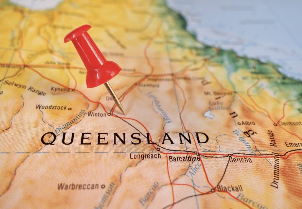
Critical minerals take flight in Queensland
Queensland is taking a major step towards unlocking new discoveries, launching Australia’s largest high-resolution airborne gravity survey across North-West Queensland.
The up to $4 million project will map 40,000km north of Mount Isa, helping geologists identify areas with potential for future critical minerals exploration. The survey will be delivered in partnership with Geoscience Australia and will generate data that will be made publicly available to industry.
Association of Mining and Exploration Companies chief executive officer Warren Pearce said access to high-quality geoscience data played a critical role in supporting exploration activity.
“By providing a reliable baseline, it allows explorers to focus their investment where it matters most, reducing duplication, lowering upfront costs, and accelerating discovery,” Pearce said.
“Making this data publicly available levels the playing field for explorers of all sizes, encourages competition and innovation, and ensures smarter, lower-impact exploration across Queensland.”
The survey will use a Cessna aircraft flying about 100m above the ground to collect gravity data, helping geologists build a clearer picture of the geology beneath the surface and identify areas with exploration potential.
The project is being delivered in collaboration with Geoscience Australia and is expected to provide new data to support exploration and investment decisions across the region.
“The high-resolution survey is the first of this scale in Australia and will provide valuable data to guide new exploration and mining opportunities across North-West Queensland,” Queensland Minister for Natural Resources and Mines Dale Last said.
The project comes as Queensland continues to strengthen its position in the critical minerals sector, with the new data expected to support future exploration, investment and project development across the state.